
2020 Typhoon No. 10 🌪 (Hai Shen)
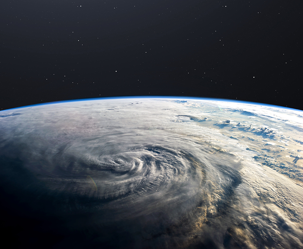
As of September 05, 2020, Typhoon No. 10 is approaching Okinawa and Kyushu. Information on Typhoon No. 10 is as follows.
This size is the strongest class ever. The atmospheric pressure when approaching is expected to be 930 hPa or less. Since the sea surface temperature is 30 ° C or higher, which is the highest since 1982 when the analysis value is available, there is a risk of landing without losing power. Recently, the 21st issue of 2018 landed at 950hPa. It landed with a “very strong” force for the first time in 25 years, and Kansai Airport was submerged, causing enormous damage in Kinki such as Osaka.
Below 930hPa, it can be a “very strong” or “fierce” typhoon above it. If it lands below 930hPa, there are only three since 1951, when statistics are available.
| Rank | Typhoon number | Atmospheric pressure at landing | Date and time of landing | Landing place * 1 |
| 1 | 6118 * 2 | 925 | 1961/9/16 After 9 o’clock | West of Cape Muroto, Kochi Prefecture |
| 2 | 5915 * 3 | 929 | 1959/926 Around 18:00 | West of Shionomisaki, Wakayama Prefecture |
| 3 | 9313 | 930 | 1993/9/3 16 o’clock ago | Southern Satsuma Peninsula, Kagoshima |
| 4 | 5115 | 935 | 1951/10/14 Around 19:00 | Near Kushikino City, Kagoshima Prefecture |
* 1: Shown by the name of the municipality at that time
* 2: Second Muroto Typhoon
* 3: Isewan Typhoon
Source: Typhoon similar to Typhoon No. 10, which is said to be a special warning class
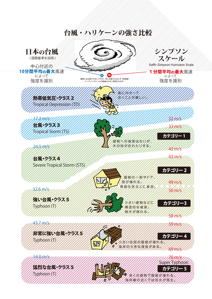
It cannot be converted simply, but it will be converted to the category used in the United States in the following JAXA materials. It is already category 4 at this point. Further development could lead to a Category 5 typhoon.
Source: JAXA
Earlier, the Japan Meteorological Agency and the Ministry of Land, Infrastructure, Transport and Tourism jointly held a press conference and warned that they should act in anticipation of heavy rains that exceed “once in 100 years.” In the future, there is a risk that it will develop into a special warning class force, and he strongly called for “early evacuation and ensuring safety before the wind and rain become stronger.”
It is a very tough test, but I would like each and every one of us to overcome the difficulties and reduce the damage as much as possible.